Narraburra
-
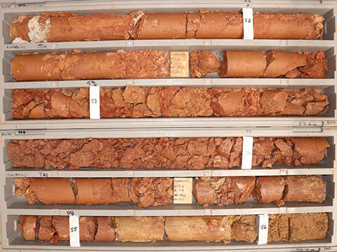
GNBDD022 - 4m @ 2354ppm TREO from 52m, inc 2m @ 4494ppm from 52m -
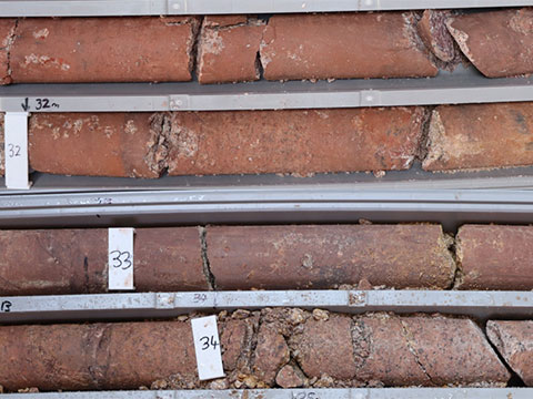
GNBDD011 - 3m @ 3481ppm from 31m -
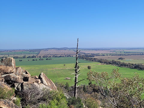
Narraburra site -
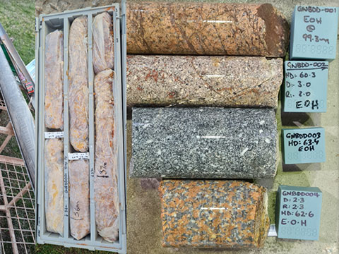
Narraburra -
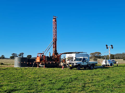
Drilling at Narraburra, July 2022 -
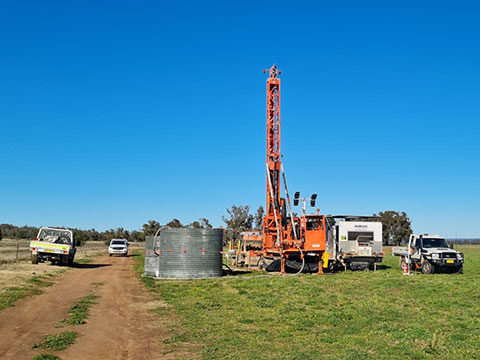
Drilling at Narraburra, July 2022 -
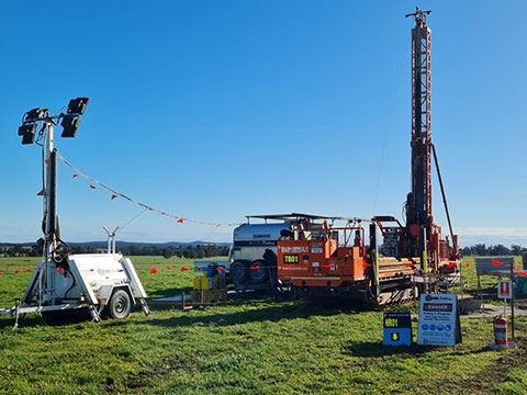
Drilling at Narraburra, July 2022 -
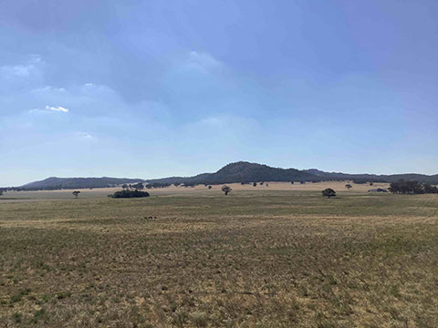
Narraburra site -
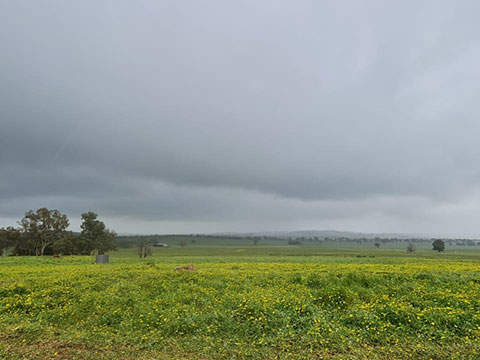
Narraburra site
Yeoval
-
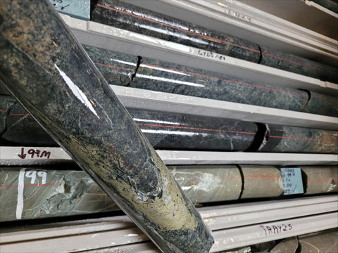
GYDD001 core -
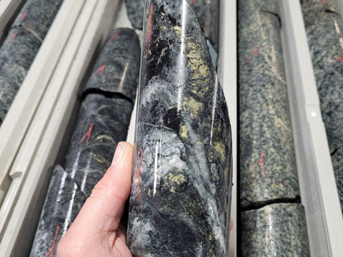
GYDD001 core -
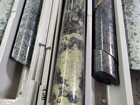
GYDD001 core -
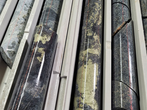
GYDD001 core -
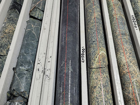
GYDD001 core -
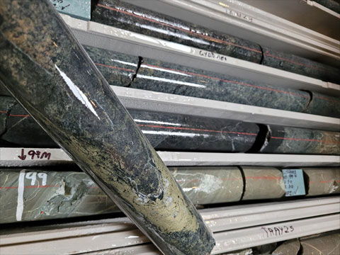
GYDD001 core -
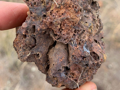
Possible old sinter sample from historic mining and smelting -
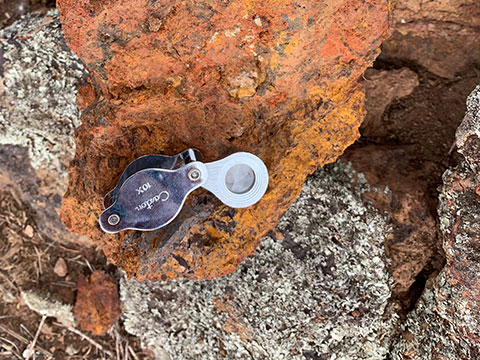
Gossanous outcrop on the edge of a low rise. These filed indicators reinforce the prospectivity of this project for hosting base and precious metals.
Lewis Ponds
-
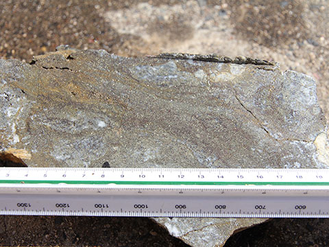
Massive Sulphides - Lewis Ponds (EL5583) -
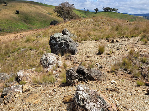
Quartz Blow - Ophir Mine Workings Lewis Ponds EL5583 -
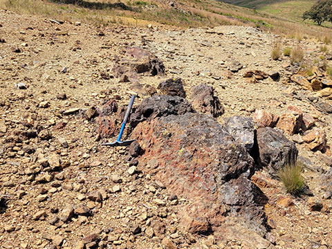
Ferruginous Outcrop - Ophir Mine Workings Lewis Ponds EL5583 -
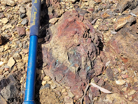
Ferruginous Outcrop - Ophir Mine Workings Lewis Ponds EL5583 -
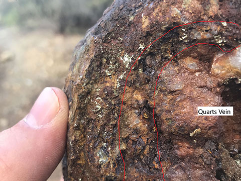
Lewis Ponds -
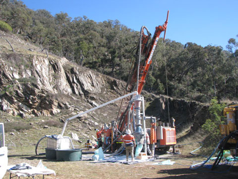
Drilling at Lewis Ponds -
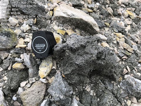
Lewis Ponds: Sulphide rich sinter? S vergences show upward facing west limb of syncline -
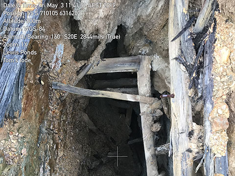
Lewis Ponds: Main vertical shaft at Tom’s mine. S vergences show upward facing west limb of syncline -
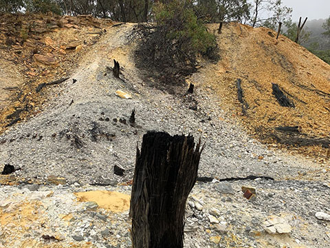
Historic workings around Tom’s Lode with timber frames still visible. Note the oxidised sulphide zones showing up as rusty dark orange colours. Light coloured material is sulphide rich sinter scree. -
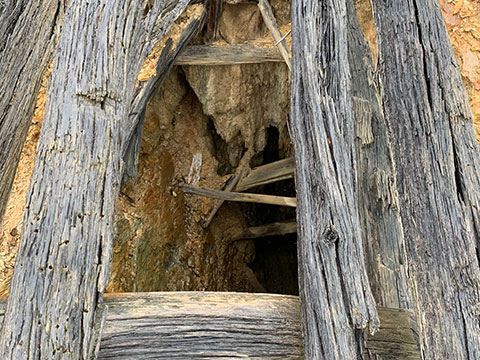
Historic timbered shafts at Lewis Ponds -
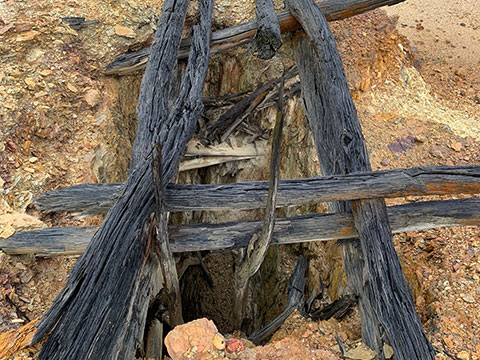
Historic timbered shafts at Lewis Ponds -
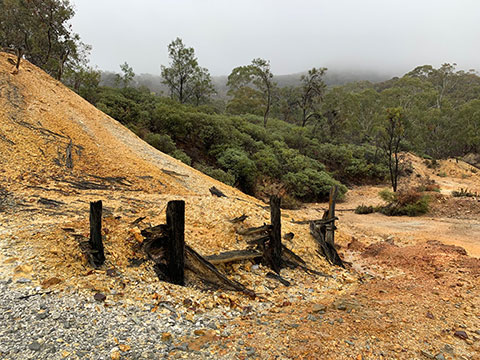
Historic workings around Tom’s Lode with timber frames still visible. Note the oxidised sulphide zones showing up as rusty dark orange colours. Light coloured material is sulphide rich sinter scree. -
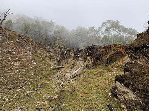
Lewis Ponds: S vergences show upward facing west limb of syncline -
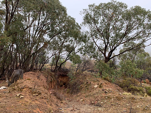
Old workings that have naturally revegetated, demonstrating that modern day mining, incorporating best practice rehabilitation, will be able to enhance the post mining environment -
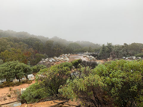
Historic drill core stockpiled at Lewis Ponds -
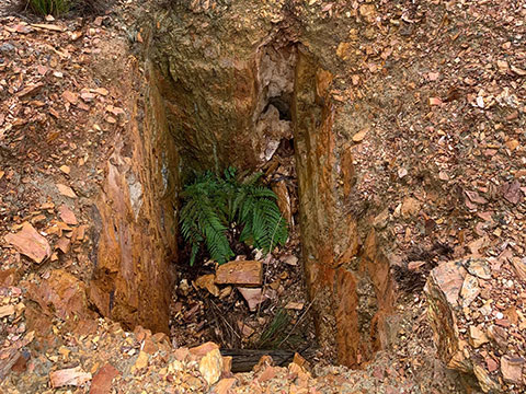
Historic collapsed working at Lewis ponds -
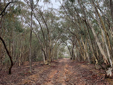
The tree lined entrance track to the historic Lewis Ponds mine site
Copper Hill East
-
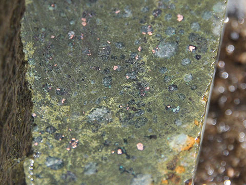
Native Copper - Copper Hill East (EL8556) -
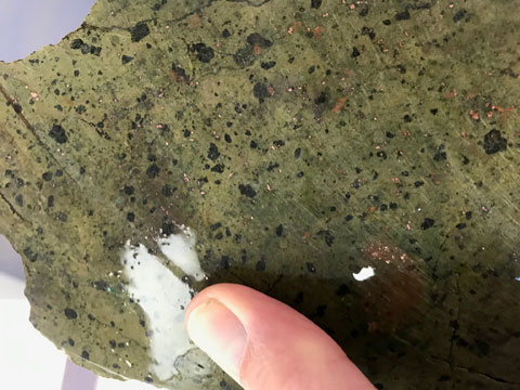
Copper Hill East - Native Cu -
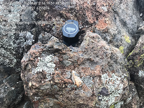
Breccia at the entrance to the property on which we did soil sampling in the west of the Copper Hill East tenement. Sample results were positive for anomalous copper. -
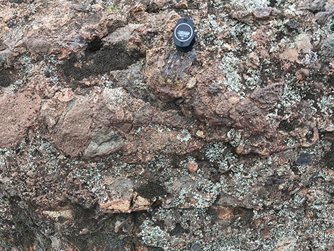
Breccia at the entrance to the property on which we did soil sampling in the west of the Copper Hill East tenement. Sample results were positive for anomalous copper. -
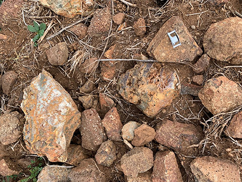
Landscape with occasional outcrop and stacked rocks from land clearing. Some of these rock stacks contain altered and gossanous porphyry. -
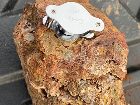
Proximal alteration found on surface. A target of all mineral exploration. Note the box work gossans and narrow quartz veins. Sulphide bearing fluids have altered the host rock and surface weathering has caused the biscuity texture and rusty, orange colours. To locate such an alteration zone on the first visit to an area, highlights the prospectivity of the project. -
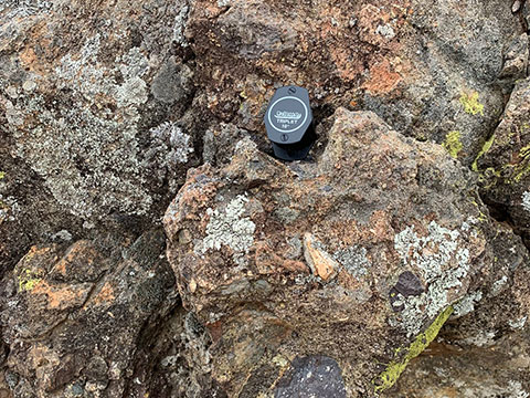
Conglomerate outcrop on project edge, containing clasts of the target porphyry rocks -
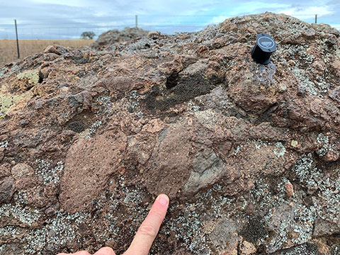
Conglomerate outcrop on project edge, containing clasts of the target porphyry rocks -
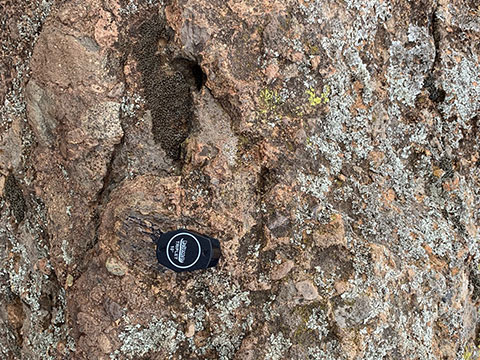
Conglomerate outcrop on project edge, containing clasts of the target porphyry rocks
Gundagai
-
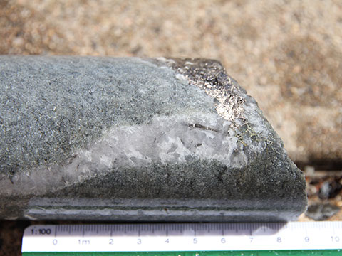
Chalcopyrite-pyrrhotite in quartz vein - Surprise Hill North, Gundagai South (EL8061) -
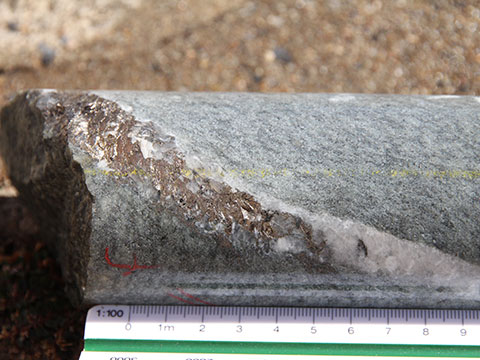
Pyrrhotite in quartz vein - Core from Surprise Hill North, Gundagai South -
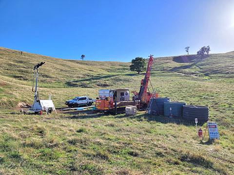
Surprise Hill North - Looking NE -
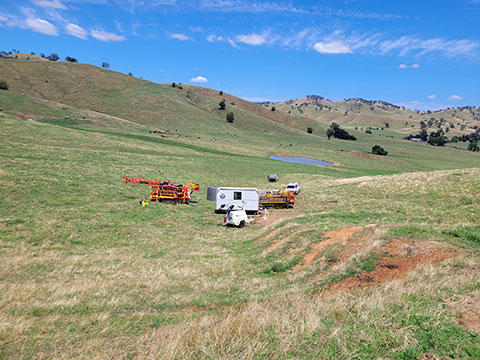
Surprise Hill North - Looking SE -
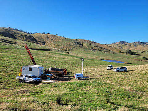
Surprise Hill North - Looking SE -
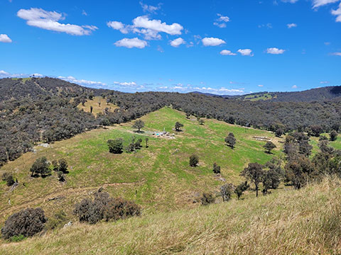
View from Bongongalong Hill across Mantons Prospect and GNRC008 -
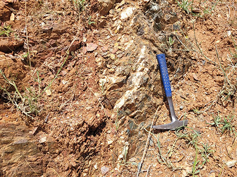
Quartz Veins in Serpentinite - Mt Parnassus Gundagai -
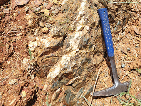
Quartz Veins in Serpentinite - Mt Parnassus Gundagai -
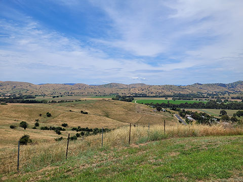
Mt Parnassus, Gundagai -
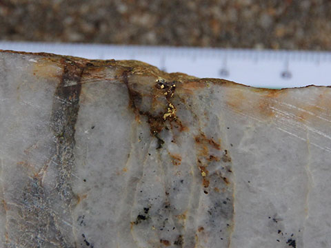
Gold in Quartz - Emu Workings, Gundagai North (EL8586) -
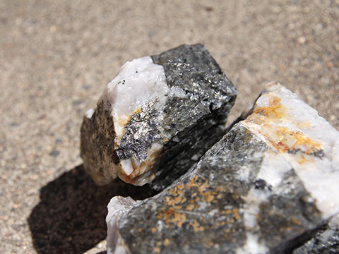
Galena-Pyrite in quartz vein - Bongongalong Hill, Gundagai North (EL8586) -
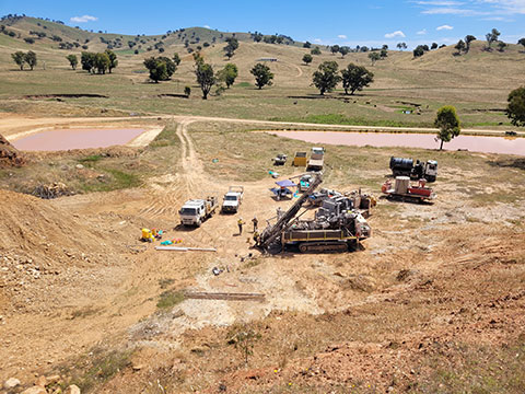
Gundagai South - EL8061 Big Ben Drilling -
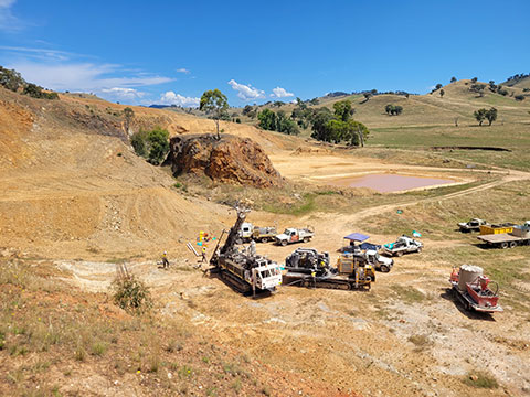
Gundagai South - EL8061 Big Ben Drilling -
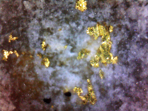
Sample of free gold found at Gundagai North – Emu Workings -
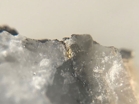
Sample of free gold found at Gundagai North – Emu Workings -
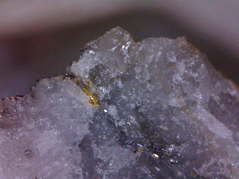
Sample of free gold found at Gundagai North – Emu Workings. The scale can be determined by the field of view, which is 6.5mm. -
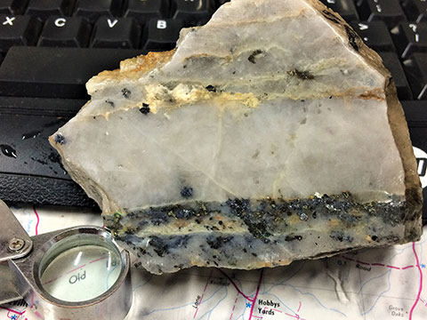
Gundagai
Mt Aubrey
-
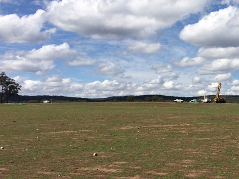
Drilling at Mt Aubrey, February 2020 -
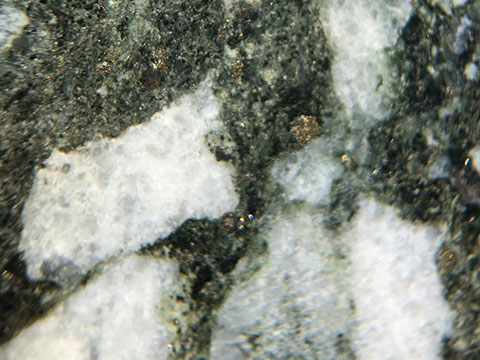
Mt Aubrey. MAD04 diamond hole. Sulphides in brecchiated vein. -
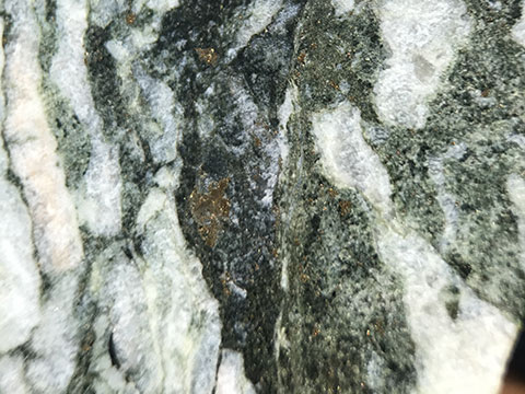
Mt Aubrey. MAD04 diamond hole. Sulphides in brecchiated vein. -
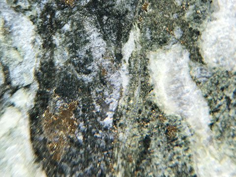
Mt Aubrey. MAD04 diamond hole. Sulphides in brecchiated vein. -
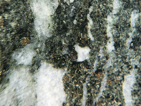
Mt Aubrey. MAD04 diamond hole. Sulphides in brecchiated vein. -
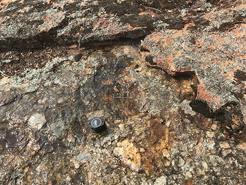
Mt Aubrey. Altered felsic pyroclastic flow. Note iron alteration, a sign of sulphides and potentially ore bearing fluids having passed through the rocks. -
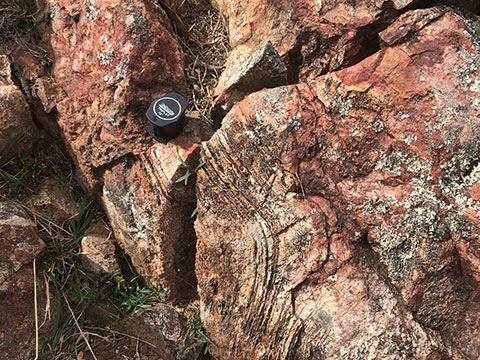
Mt Aubrey. Altered felsic pyroclastic flow. Note iron alteration, a sign of sulphides and potentially ore bearing fluids having passed through the rocks. -
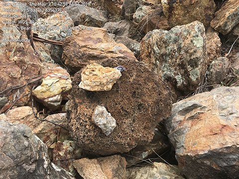
Old mine stockpile from the Mt Aubrey open pit gold mine, that completed mining in 1991. Obvious epithermal vein textures and alteration present in mainly felsic host rocks. -
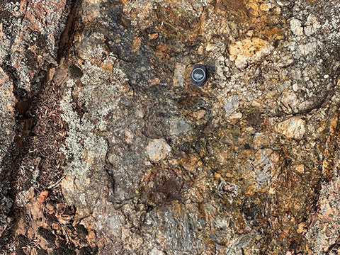
Altered felsic pyroclastic flow. Note variable clast size and orientation. Zones of strongest alteration highlighted by rusty coloured, iron alteration. -
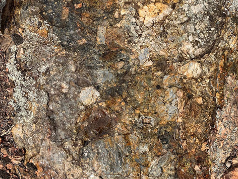
Altered felsic pyroclastic flow. Note variable clast size and orientation. Zones of strongest alteration highlighted by rusty coloured, iron alteration. -
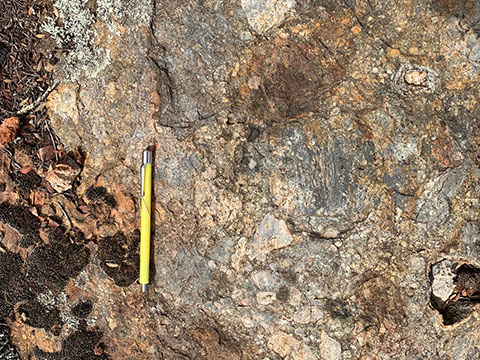
Altered felsic pyroclastic flow. Note variable clast size and orientation. Zones of strongest alteration highlighted by rusty coloured, iron alteration. -
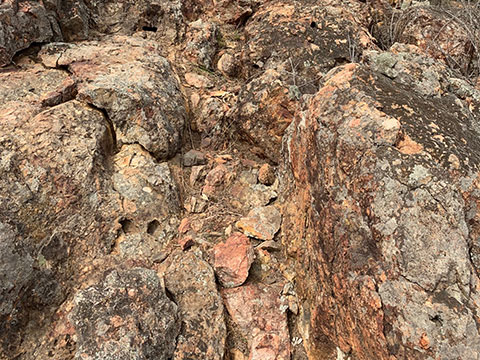
Altered felsic pyroclastic flow. Note variable clast size and orientation. Zones of strongest alteration highlighted by rusty coloured, iron alteration. Also shows a subvertical fault zone, running up the photo. The fault is a potential conduit for mineralised fluids and a good indicator of project prospectivity.